Interactive Maps
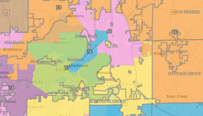
Wisconsin Voting Districts
Final project for my Practicum in GIS Development at UW-Madison, this webmap shows election district information for the State of Wisconsin. This information reflects the latest changes from Redistricting in 2022. Video Demo
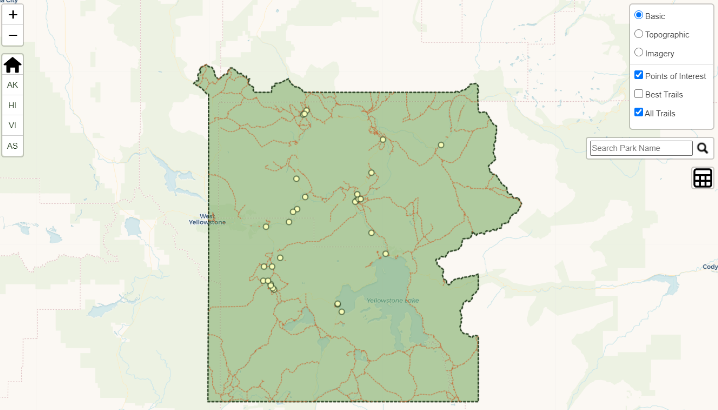
U.S. National Parks Map
Designed in my interactive mapping class at UW-Madison using Leaflet, this map shows all of the National Parks in the U.S. and allows users identify various points of interest and information about the parks.
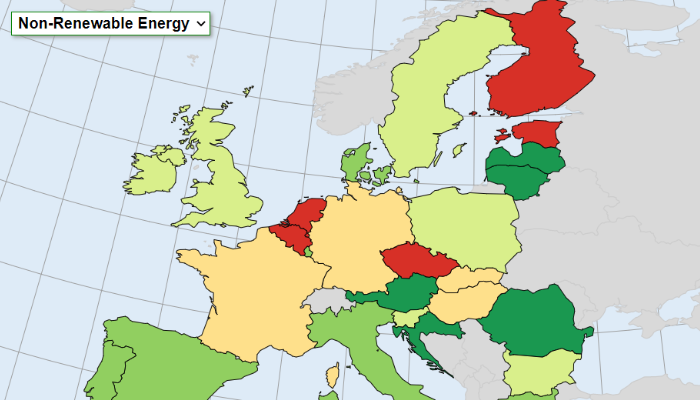
European Environmental Issues
Designed in my interactive mapping class at UW-Madison using the Data-Driven Documents javascript library, this map shows European Union countries with rankings based on various environmental problems.
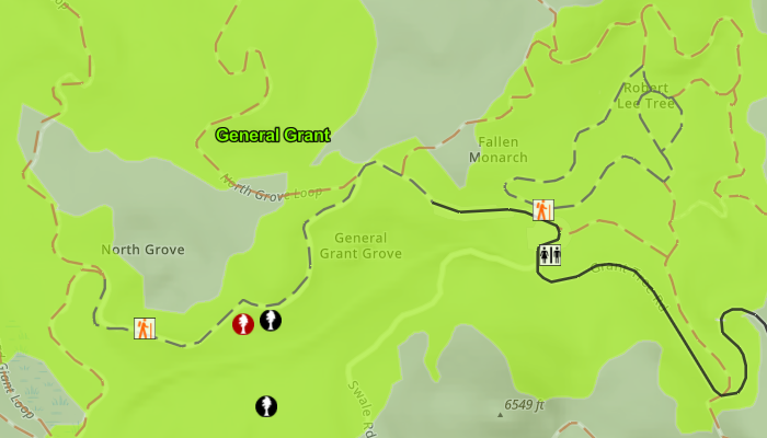
Sequoia Tree Collection App
Designed in my GIS Capstone class at UW-Madison using ArcGIS Javascript API, this project is a tree collection application that allows the user to collect tree information and effectively navigate around Sequoia and Kings Canyon Parks. Video Demo
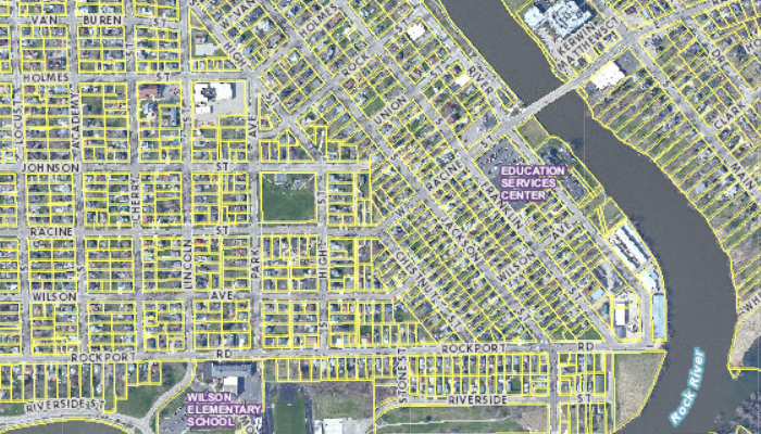
City of Janesville Webmap
Designed when I worked for the City of Janesville, this was created to replace the existing multi-purpose webmap. With many layers to activate and multiple search capabilities, it was a major undertaking to design.
Indiana Jones Promo Basemap
Designed for my Graphic Design in Cartography class at UW-Madison using Mapbox Studio, this is a tileset designed to promote a hypothetical Indiana Jones movie using the style of the movies as inspiration.