Collaborations
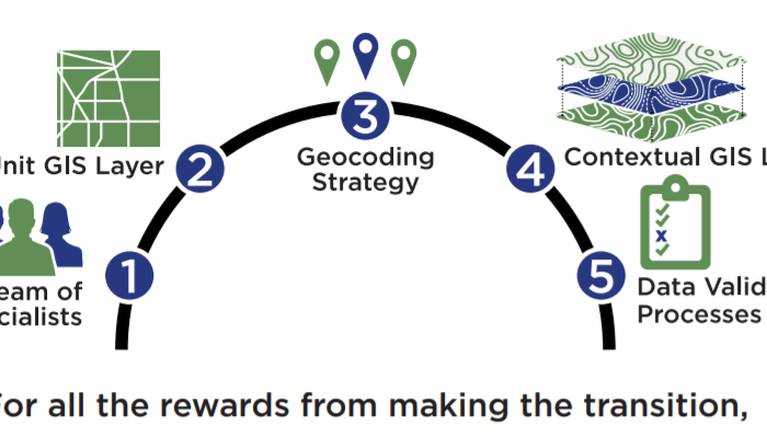
Best Practices for Geo-enabled Elections
Part of the National States Geographic Information Council's Geo-enabled Elections project, I contributed to the best practices document on maintaining good election geography.
Conservation in a Changing Climate
As an intern for the Department of Forest and Wildlife Ecology at UW-Madison, I designed maps showing the locations of six study areas across the U.S.
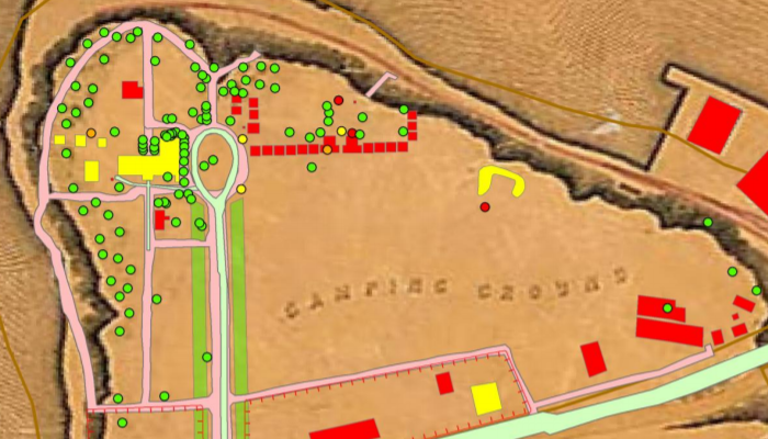
Civil War City Point Landscape
As an intern working at Petersburg National Battlefield in Virginia, I was part of a project to map out what the landscape at the park may have looked like during the Civil War.
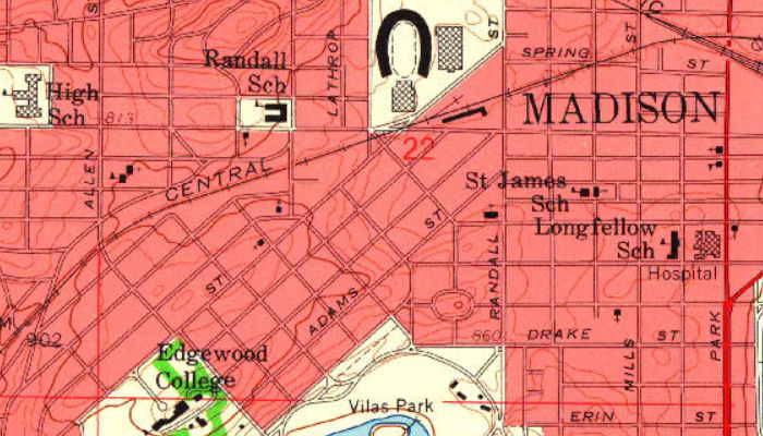
USGS Historical Mapping Project
While working as an intern with the USGS, I was part of a project to categorize and digitize thousands of historic maps for download on the USGS website.
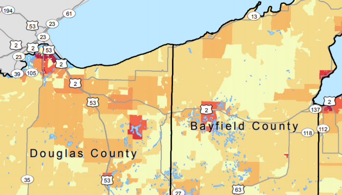
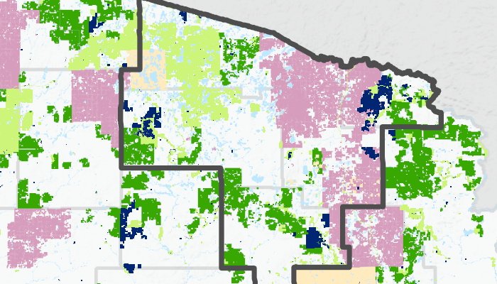
Wisconsin Counties' Historical Housing Density
As an intern working at the University of Wisconsin Population Lab, I had the opportunity to create county maps showing housing density over a period of 70 years.